Basic Info
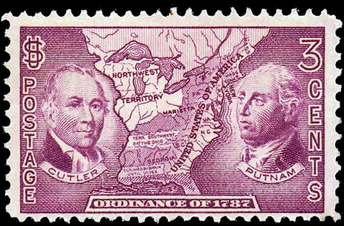
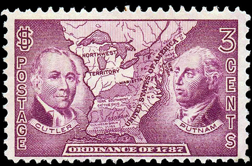
3¢ Violet, bright violet
Subject: Ordinance of 1787 map
Perforations: 11 x 10½
Number issued: 84,825,250
Scott #: 795
Issued: July 18th, 1937
Value
Used
5¢
No postmark with gum (MH)
5¢ - 10¢
Full perfect gum, no postmark
no trace of stamp hinge mark (MNH)
10¢ - 50¢
Full perfect gum, no postmark
no trace of stamp hinge mark PLATE BLOCK OF FOUR (MNH)
50¢ - $1.50
A full pane
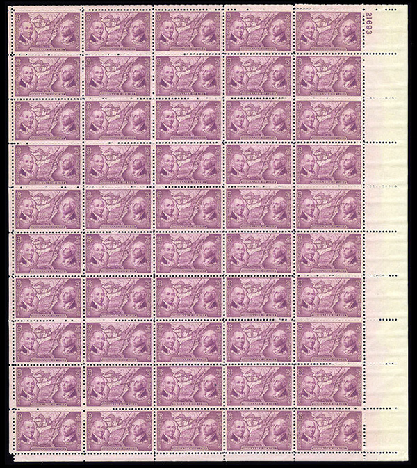
A pane of 50 stamps, there were four panes to a sheet of 200
First Day Cover
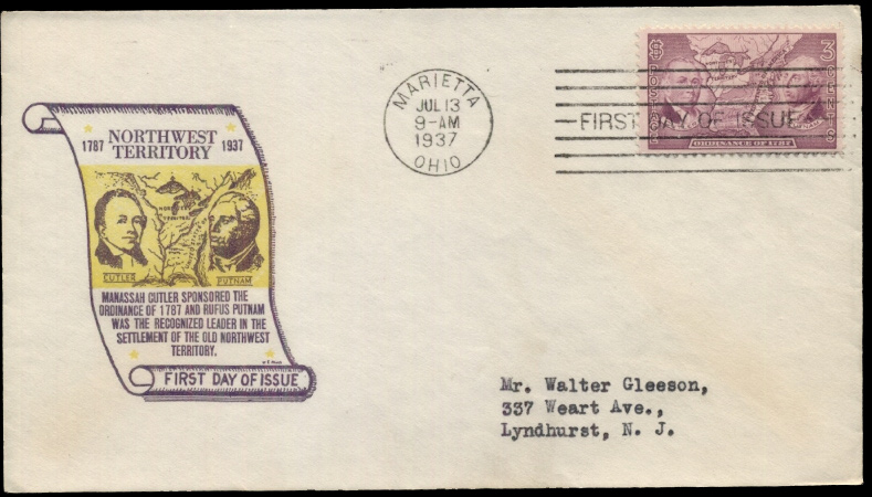
A first day cover, dated July 18th, 1937
Notable Sales

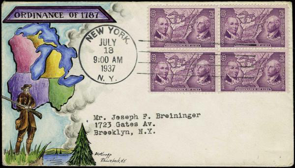
M-unlisted, Dorothy Knapp hand-painted cachet with New York, New York July 18, 1937 cancel
Sold November 2019 for $856
Explore H.R. Harmer's Auctions
The Inspiration for the Design
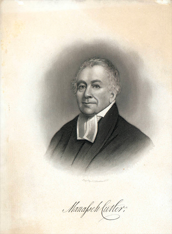
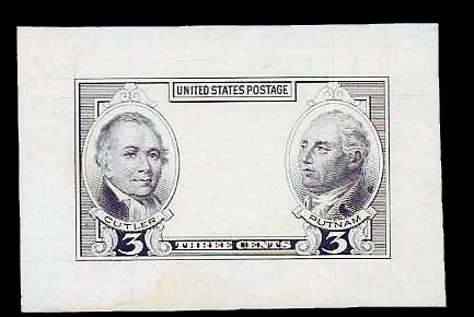
Mannasseh Cutler
Engraving by J. C. Buttre of New York
Drafter of the ordinance
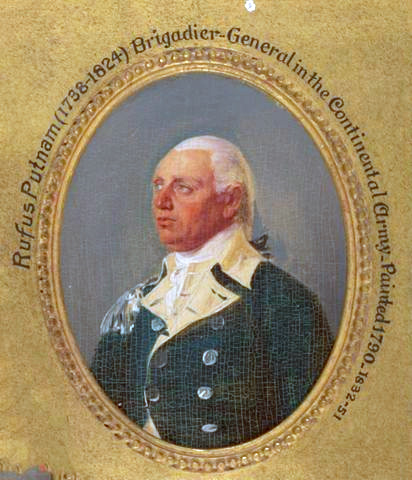
Rufus Putnam
Miniature painting by J. Trumbull
Superintendent of settlement in the North West Territory
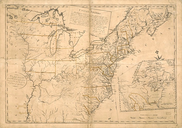
The North West Territories Map, 1783
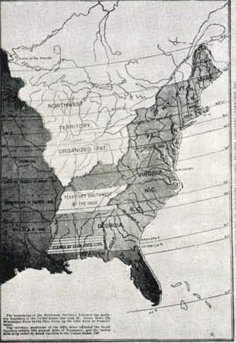
Map from the 'History of the United States in Maps'
This 1784 map shows the boundaries of the United States after the American Revolutionary War. Negotiations to end the war included debates about how far west the western border of the United States would be. According to the Treaty of Paris, the final agreement was that the Mississippi River would be the western border of the United States.
The source of the Cutler vignette is an engraving and the source of the Putnam vignette is a painting. Both are shown above. The first map shown above was used at the Treaty of Paris to set the border. The last map shown is the source for the map in the stamps vignette.
Plate #'s
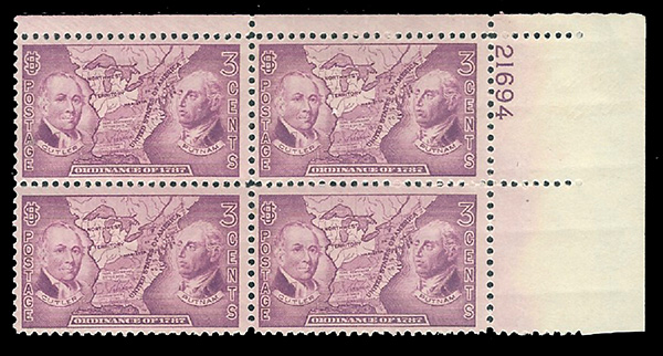
#795 was issued with the following plate #'s
Numbers
21691-94
